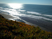
Lake Merced
Now: Larger by far than any other lake or reservoir within San Francisco, Lake Merced is just on the other side of the Fort Funston cliffs and Pacific Ocean at the city's southwest corner. Harding Park separates the north and south sections, and can be entered via Skyline Boulevard. Fort Funston is a windy oceanside playground for off-leash dogs and hang gliders.
Then: A natural lake, fed by an underground spring, its shores were once a home to the Ohlone Indians. Fort Funston was a military installment with enclosed gun batteries operated during World War I and II. It became a national park in 1963.
How To Get There: This is way out on the edge of the city, so a Muni ride on the M-line (which goes to Stonestown), or the L-line (which goes to the zoo, near Sloat Boulevard) can take a while. If you're driving, parking is easy inside Harding Park, and some limited parking directly off of Skyline Boulevard, at the entry paths to Fort Funston.
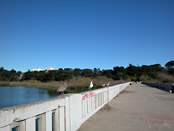
Bridge across south section of Lake Merced, off Lake Merced Boulevard, near Brotherhood Way
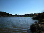
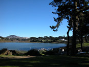
Southeast section of Lake Merced
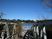
Walkway at the edge of Lake Merced
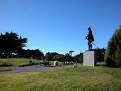
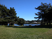
Inside Harding Park, off of Skyline Boulevard, on the shore of Lake Merced
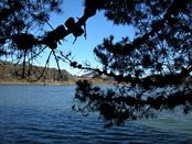
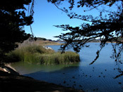
Shore of Lake Merced, inside Harding Park
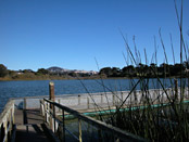
Walkway at Lake edge in Harding Park
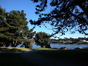
Shaded lawns inside Harding Park
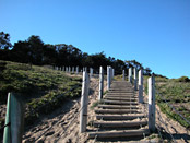
Steps leading up to Fort Funston, off of Skyline Boulevard
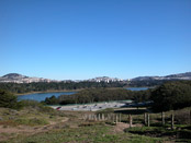
Looking east toward Lake Merced from edge of Fort Funston
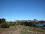
Lake Merced and city view from Fort Funston
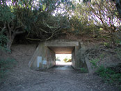
Battery Davis, one of the old concrete gun battery enclosures at Fort Funston
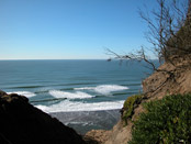
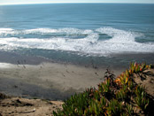
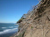
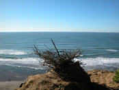
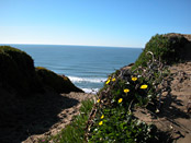
Cliffs overlooking the ocean at Fort Funston
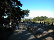
Many dogs at Fort Funston
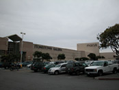
Stonestown Galleria Shopping Center, off of 19th Avenue, east of Lake Merced
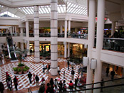
Inside Stonestown Galleria Shopping Center
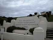
Merced Manor Reservoir, at 23rd Avenue between Ocean Avenue and Sloat
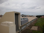
Top of Merced Manor Reservoir
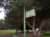
Rolph Nicol Park, off Eucalyptus Drive, at 24th Avenue
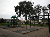
Rolph Nicol Playground, near Stonestown Galleria
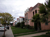
Houses in Merced Manor, between Ocean Avenue and Eucalyptus Drive
- Lake Merced info on other sites
- Lake Merced on Wikipedia
- Lake Merced Task Force
- Info on Lake Merced
- Fort Funston at the Golden Gate National Parks Conservancy
- Fort Funston, from a dog wallker's perspective
Comments
Comment about Lake Merced here:

